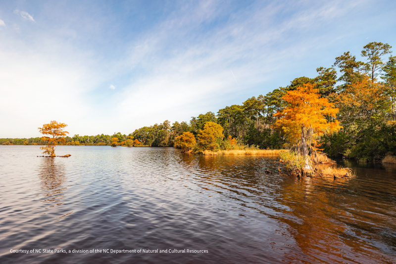
Description
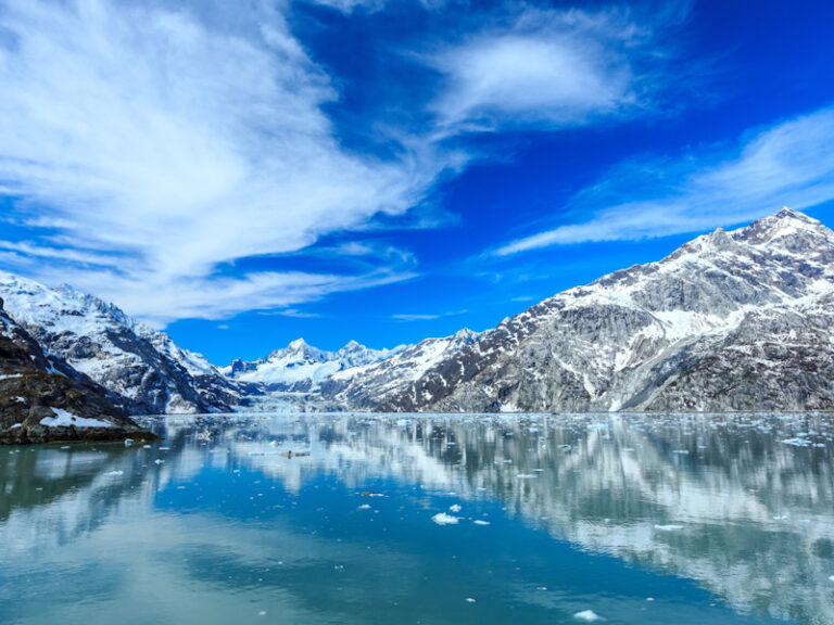
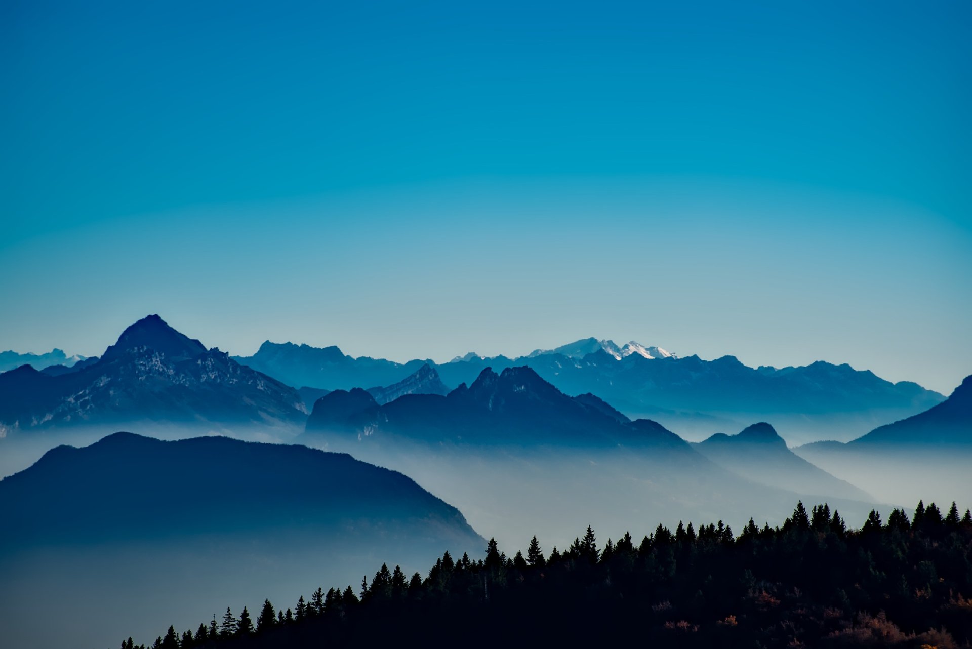
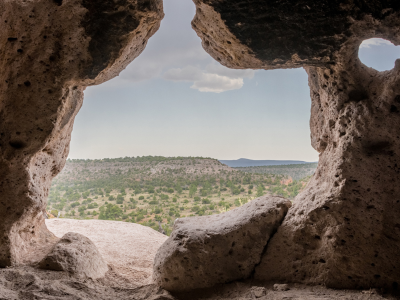
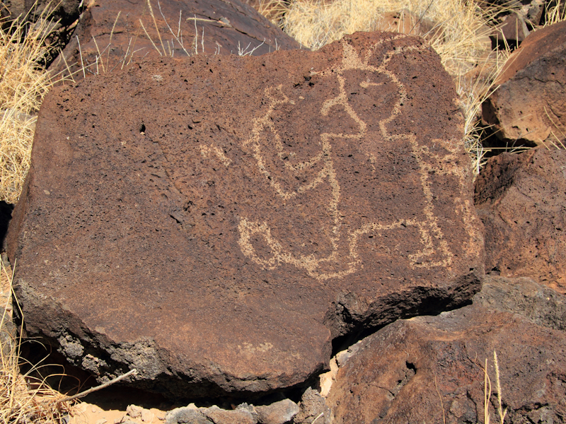
About 1.2 million years ago, a spectacular volcanic eruption created a 14-mile-wide circular depression in the earth now known as Valles Caldera. The preserve is known for its huge mountain meadows, abundant wildlife, and meandering streams. The area also preserves the homeland of ancestral native peoples and embraces a rich ranching history.
Need to Know
Each season offers a different experience: lush springs, moderate summers, golden falls, and snowy winters. Average temperatures are 22°F (-6 C) in January and 60°F (16 C) in July. Temperature extremes range from a high of 84°F (29 C) in summer to -30°F (-34C) in winter. Precipitation is heavier during summer monsoon rains (thunderstorms) in July and August and winter snowstorms in December through March. Higher elevation lends to much cooler temperatures than nearby Albuquerque.
Maps and Navigation
From Jemez Springs, NM: Follow NM-4 north. The Preserve is about 22 miles from Jemez Springs. Look for the Main Gate and signs at Mile Marker 39.2. From Los Alamos, NM: Take Trinity Drive to Diamond. Take a left on Diamond, then a right on West Jemez Road to the intersection with NM-4. Take a right [away from Bandelier National Monument], following the highway up and into the Jemez Mountains. The Preserve is 18 miles up NM-4 from Los Alamos. Look for the Main Gate and signs at Mile Marker 39.2.